
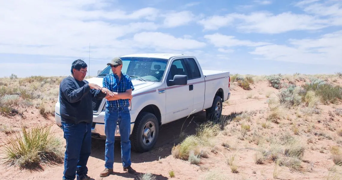
Rick Nasafotie (Hopi Office of Range Management) and Daniel Ferguson (UA) discuss range conditions in summer 2013 on the Hopi Tribe’s lands in northern Arizona.
Lead CCASS Contact: Daniel Ferguson
The goal of this project is to work with the Hopi Tribe's Department of Natural Resources (HDNR) to develop a set of drought indicators and approaches for collecting, analyzing, and utilizing the data needed to support each indicator. In addition to indicators that rely on available temperature and precipitation data, we hope to develop a complementary suite of indicators that utilizes drought impacts information the HDNR has begun to collect. The integrated suite of indicators and processes to support monitoring them will: 1) provide the foundation for revisions to the Hopi Tribe's current drought management and response plan, 2) result in a new stream of locally-derived data and information that could provide input to national drought products like the US Drought Monitor, and 3) be the backbone of a system that would provide local, regional, and national decision makers better insight into developing drought conditions before an event reaches critical levels.
The first issue of an experimental Quarterly Hopi Drought Summary report was released in early April 2014. This product synthesizes various data sources that reflect ongoing drought status on Hopi lands. The drought summary is designed to: a) provide the HDNR with a status update on drought conditions, and b) demonstrate to HDNR technicians how the data they collect may be utilized.
Related publication: Ferguson, D. B., A. Masayesva, A. M. Meadow, and M. A. Crimmins, 2016: Rain gauges to range conditions: Collaborative development of a drought information system to support local decision making. Wea. Climate Soc., doi:10.1175/WCAS-D-15-0060.1.