Symposium Brings Flood Justice Experts to UArizona Campus
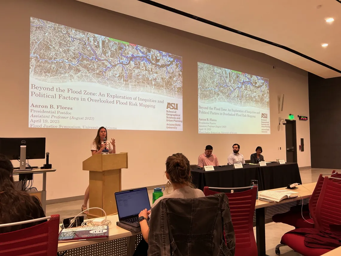
Beth Tellman, UArizona, introduces speaker Aaron Flores, ASU, on the data-empowered flood justice panel at the Flood Justice Symposium 2023.
Photo credit: Amanda Leinberger
Floods affect more people than any other hazard and can increase inequality in a changing climate. To explore how we can better study, prepare for, and respond to floods in a way that centers equity, multiple units from across the UArizona campus collaborated to host the Flood Justice Symposium, which took place on April 20, 2023. Co-convened by the Arizona Institute for Resilience (AIR), the Center for Climate Adaptation Science and Solutions (CCASS), AIR International Programs, and the School of Geography, Development and Environment (SGDE), the symposium brought together experts from across the country to share knowledge and experience related to four main theme areas: 1) data-empowered flood justice, 2) community-engaged research, 3) flood governances in the preparedness-recovery continuum, and 4) flood justice across borders. Speakers at the symposium represented diverse sectors, including law, academia, community groups, disaster management and risk reduction, and environmental science. Over 70 participants joined the symposium in person or on Zoom and participated in both the plenary and breakout sessions.
A workshop within the symposium focused on using remotely sensed data for assessing flood risk in three locations in Houston, Texas, Rio Grande Valley, Texas, and Down East, North Carolina. For this workshop, Tellman’s lab group in collaboration with Aaron Flores from ASU, Max Cawley from the Museum of Life+ Science, and Mashal Awais, developed an app on Google Earth Engine that allows users to view floods mapped with satellite imagery, a 100-year flood map from First Stream Foundation (from a hydrodynamic model), the official FEMA 100-year flood map, and other data layers, including the Social Vulnerability Index and population and building density. The app aims to demonstrate the unique strengths and limitations of the three flood map products across the three sites and to demonstrate where the FEMA flood map excludes observed flooding in the satellite-based map or modeled flood map. There is a case study written about each location the describe the main flood injustice issues occurring in that region.
Multiple next steps, including articles and proposals, are under development. We will continue to provide updates on this page as they become available.
Links & Resources
- Article published in Eos called Five Key Needs for Addressing Flood Injustice, which came out of this event.
- The full recording of the Flood Justice Symposium is available here.
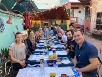
Flood Symposium speakers and organizers at a networking dinner at El Charro Downtown in Tucson.